Additional Resources
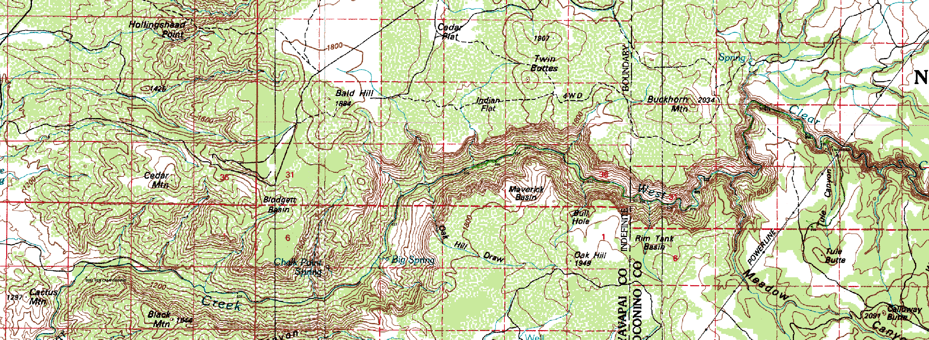
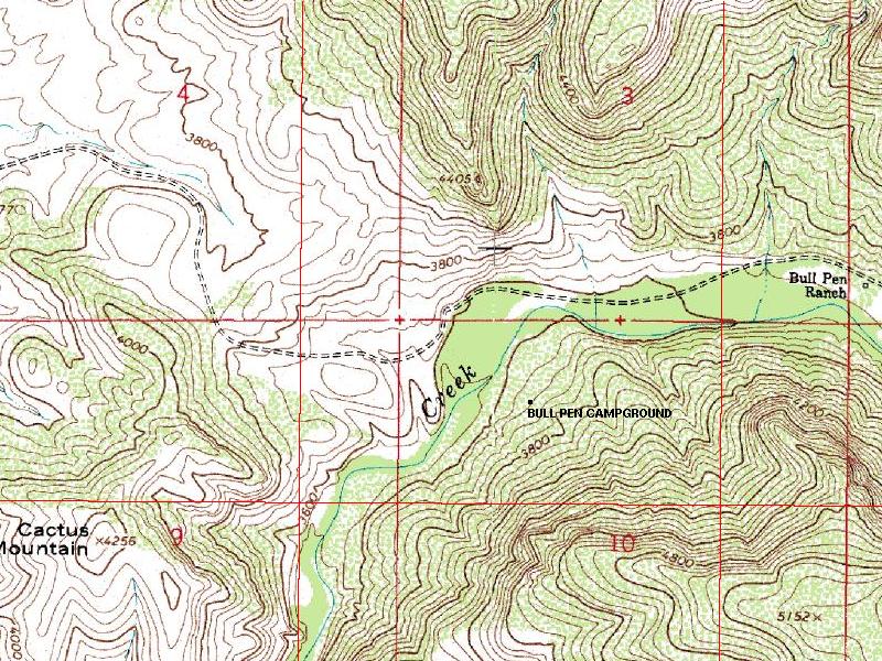
These are maps of this hike, and the raw GPS data. Included is a large 8mpp map showing the entire hike,
and a series of 10 smaller images at 4mpp showing the finer details and sized to hopefully be
easily printable. (But I've not tested them -- let me know how they work.)
Big map of entire hike
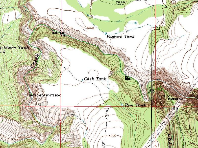
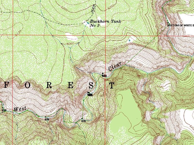
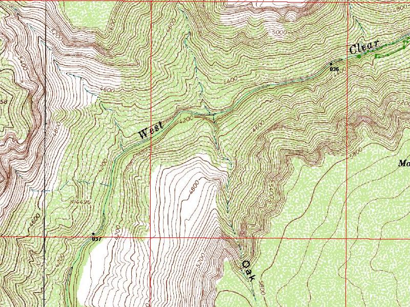
Section 1
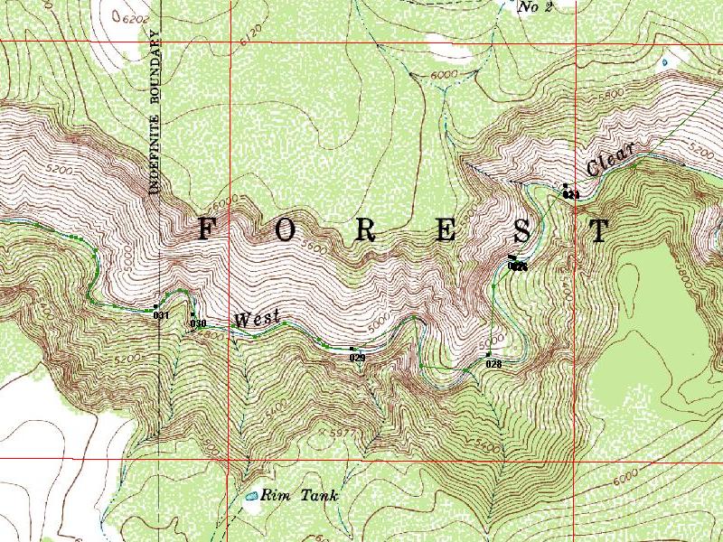
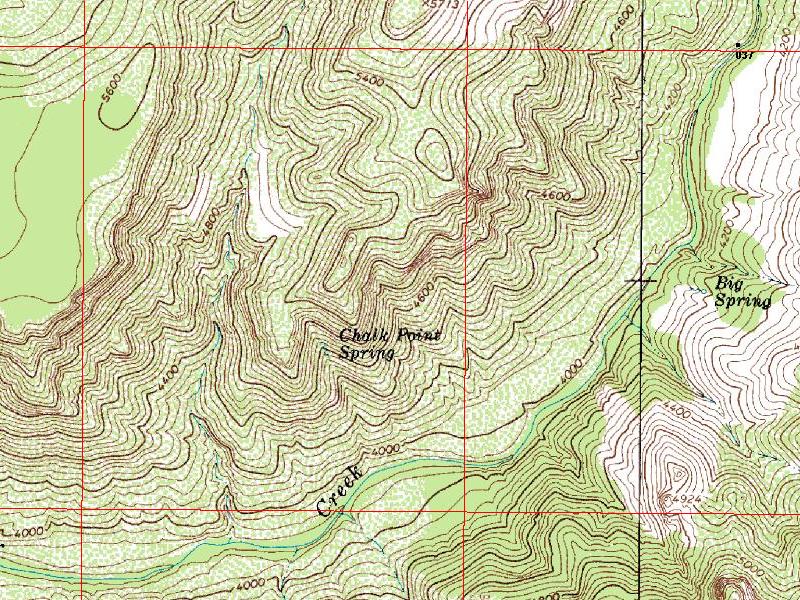
Section 2
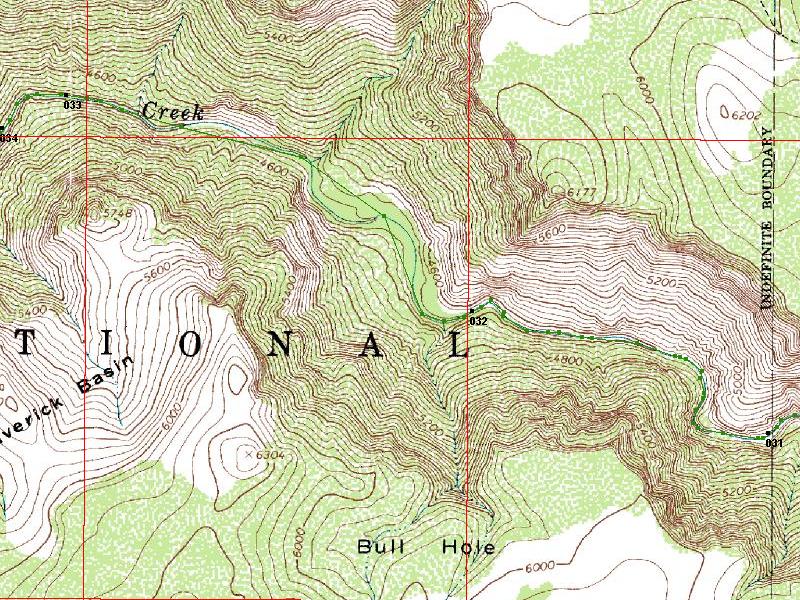
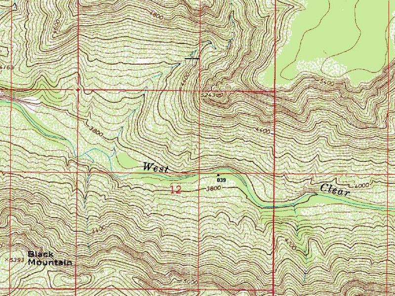
Section 3
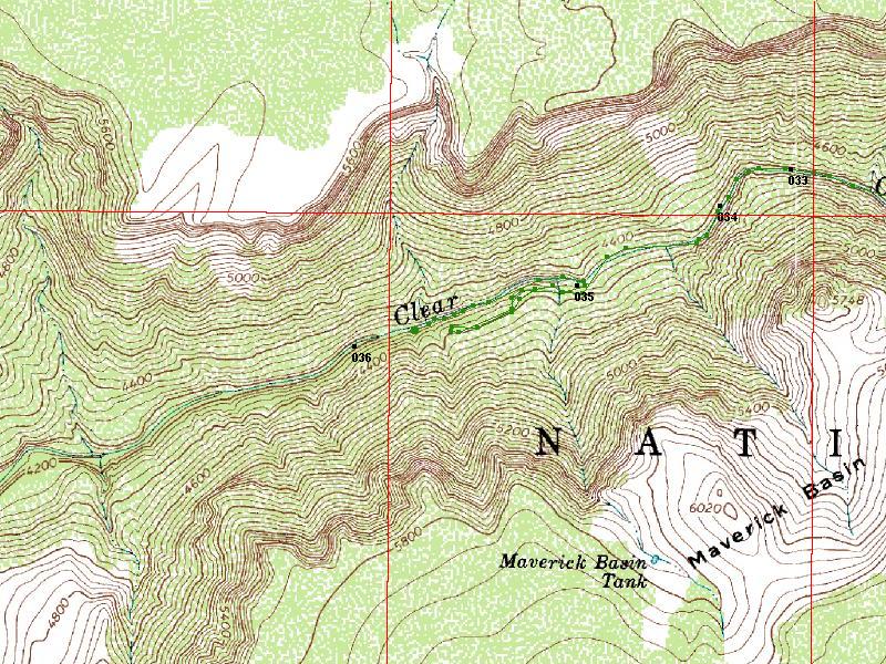
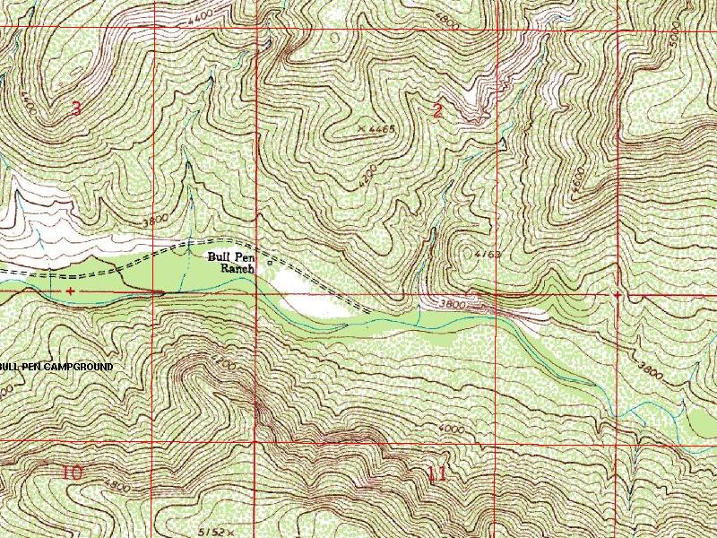
Section 4
Section 5
Section 6
Section 7
Section 8
Section 9
Section 10
All the
Raw GPS data, including a bunch that was from other
trips. This hike runs from waypoint 9 to waypoint 39.